Home Town Centre Nature Footpaths Sports Education Churches
Wine & Dine Shops Fast Food Area History Letters

Alsager Library and Crossroads

Town Centre Map

North Tour


16/8/02

Theme Tour: Education

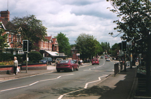
The library is next to the crossroads on Sandbach Rd. North.
There are four internet terminals available for FREE public use.
Latest info on events and activities is on Alsager Library News

See also the Cheshire East Council page for Alsager Library

Opening hours:-
Mon 9am - 5pm
Tue 9am - 7pm
Wed 9am - 1pm
Thu 9am - 5pm
Fri 9am - 7pm
Sat 9.30am - 1pm

The library now houses the Cheshire East Council information point.

The Alsager Community Theatre also meets here.


8/7/97

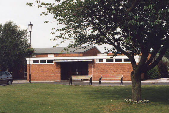
On the right side of the library is the Civic Centre and the Alsager Town Council offices.


16/8/02

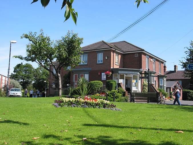
Nearby is the Christian Ministry Centre which is also a coffee and book shop.
Behind the building is the main Car Park.
The road leads past Coronation Gardens which offers a view of the Mere, to the Wilbraham Arms Inn (about 1 mile) and eventually to Sandbach (3 miles) where the Saxon Crosses can be seen.


South Tour

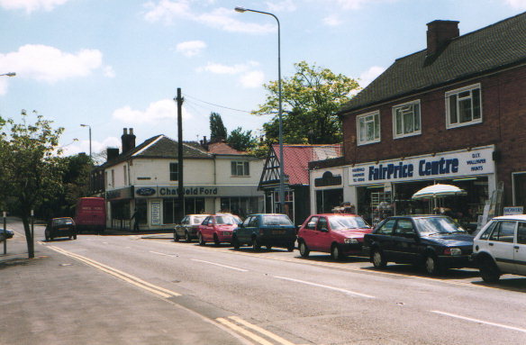
Sandbach Rd. South leads past a garage, now Bristol Street Motors (formerly Chatfield Ford in this old photo) opposite which is the
United Reformed Church

The road continues past the War Memorial to the Railway Station (5 mins walk) at the junction between Talke Rd. and Audley Rd.
Taking the Audley Rd the Yeoman Public House is a further 2 mins walk. About 1 mile from the town centre is the Manor House Hotel


East Tour

Lawton road has many shops including a Post Office and Co-op
The road leads to Wesley Methodist Church. (2 mins walk)
and St. Gabriel's RC Church (10 mins walk)
About 1.5 miles from the town centre the road joins the A50 at some traffic lights. Turning left onto the A50 leads to Brereton Country Park (8 miles)

Continuing across the lights on the A50 another 1.5 miles there is another set of lights at the junction with the A34. Turning left leads to Little Moreton Hall (3 miles), Mow Cop Castle (3 miles) and Biddulph Grange Gardens (10 miles)


West Tour

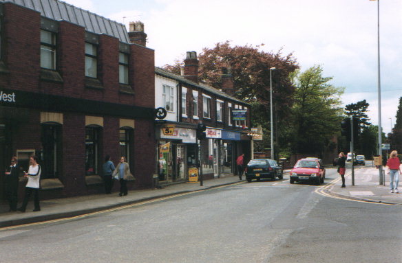
Crewe road starts with the National Westminster bank. Next to the bank is a Newsagent where Ordnance Survey maps are sold.
Further down the road is Barclays Bank, Milton Park then St. Mary Magdalen Church and The Mere and Northolme Gardens (2 mins walk).


The road continues past The Lodge Public House to Hassall Methodist Church and the Poachers Inn. (1 mile from town centre)
Then comes the Plough Inn, Cranberry Moss Nature Reserve, the Holly Trees Hotel and the White Moss Sand Quarry.(1.5 miles from town centre)
Nearby is the Garden Centre and Radway Green Business & Technology Centre
The left turn at the traffic lights leads eventually to Barthomley after 1 mile.


Last Update: 27 Jun 10

Home Town Centre Nature Footpaths Sports Education Churches
Wine & Dine Shops Fast Food Area History Letters